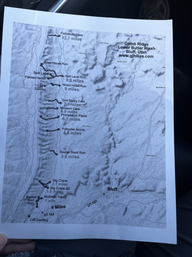
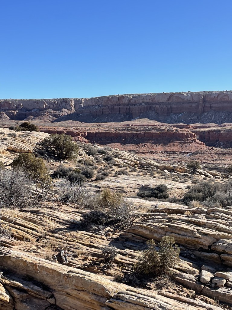
Back in May of 2021, we’d done an overnight hike to Bullet Canyon (previous post linked). The experience of getting to explore ancient Native American ruins and seeing the artifacts and pictographs left us wanting more. Once again, Shannon started researching and looking at maps. He’d heard of this area known as Butler Wash and Comb Ridge, in Southeastern Utah.
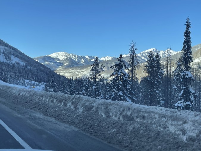
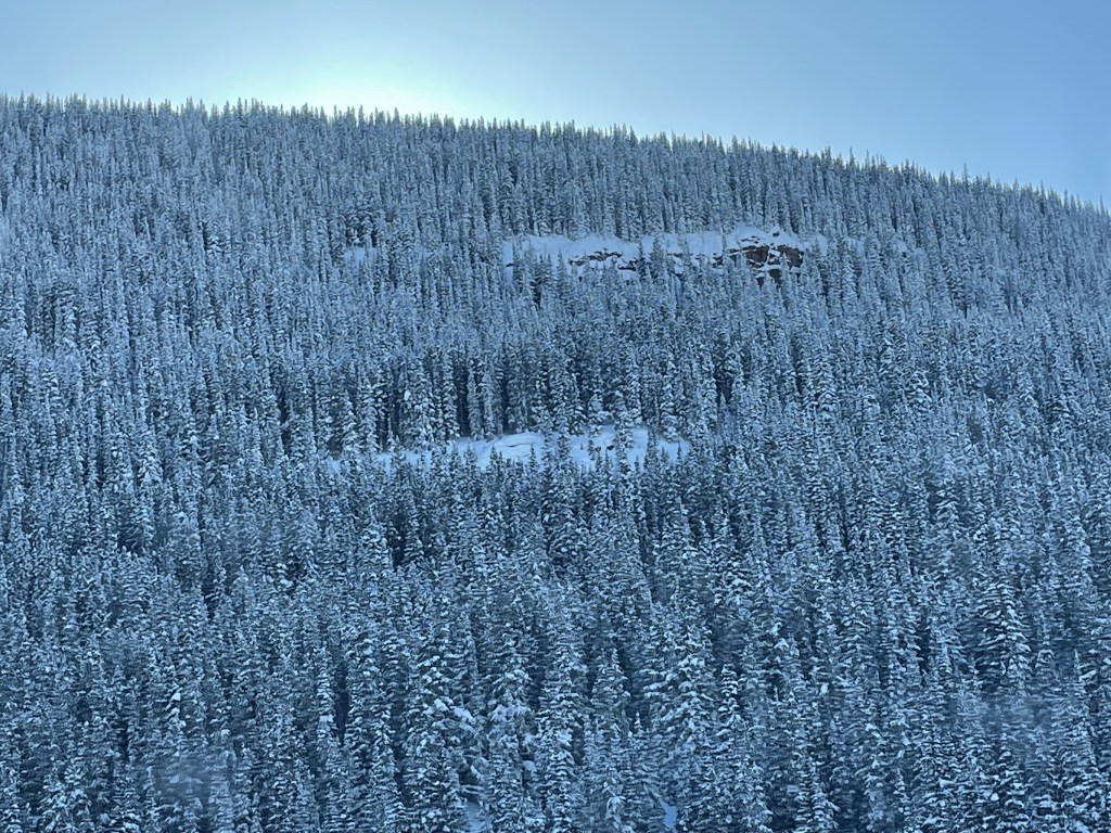
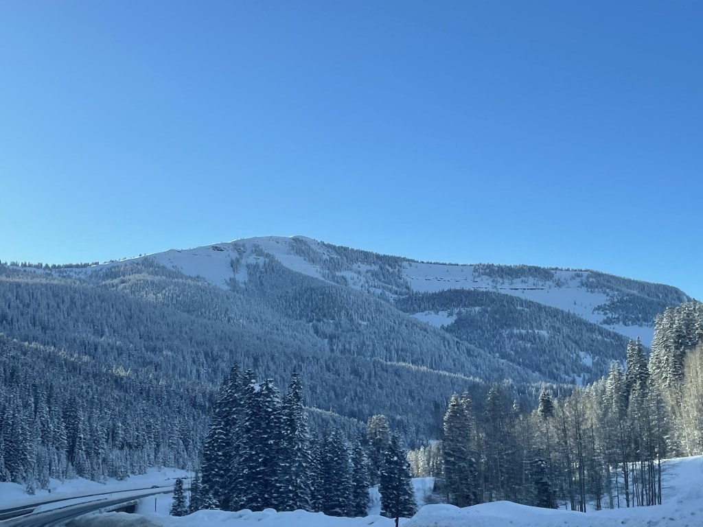
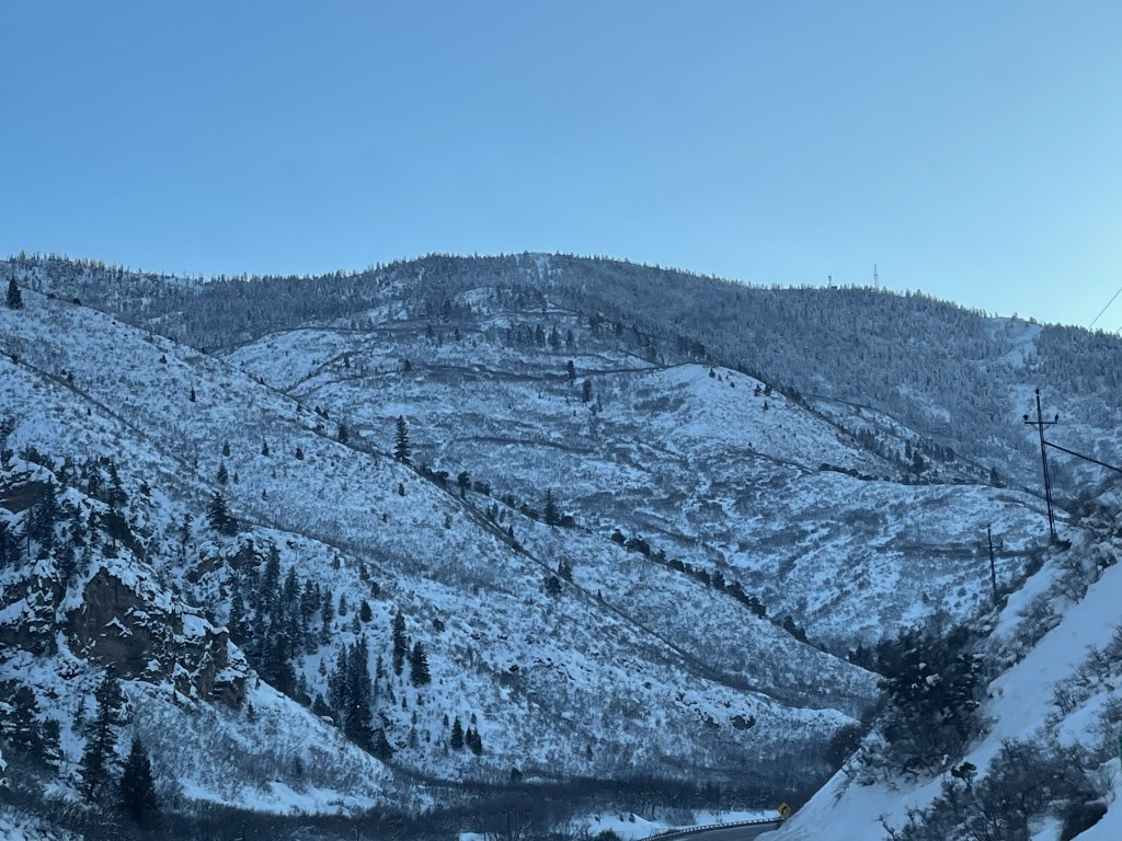
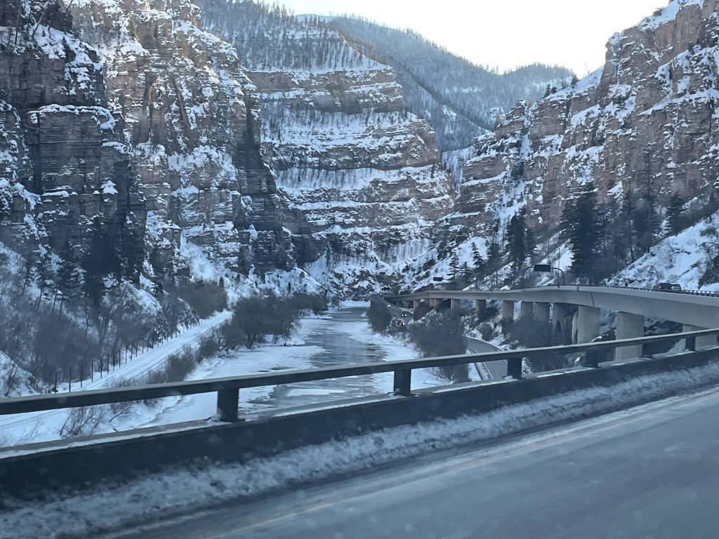
We think it’s a lot of fun to go into a trip with a very loose schedule- to have a general outline of things you’d like to see, but upon arrival, to start towards the end result with no particular set agenda. We flew into the Denver airport early in the day, and drove across the state of Colorado and into Moab for our first night. There were a few things we wanted to see near Moab, but I cannot overstate the incredible beauty of the drive across Colorado

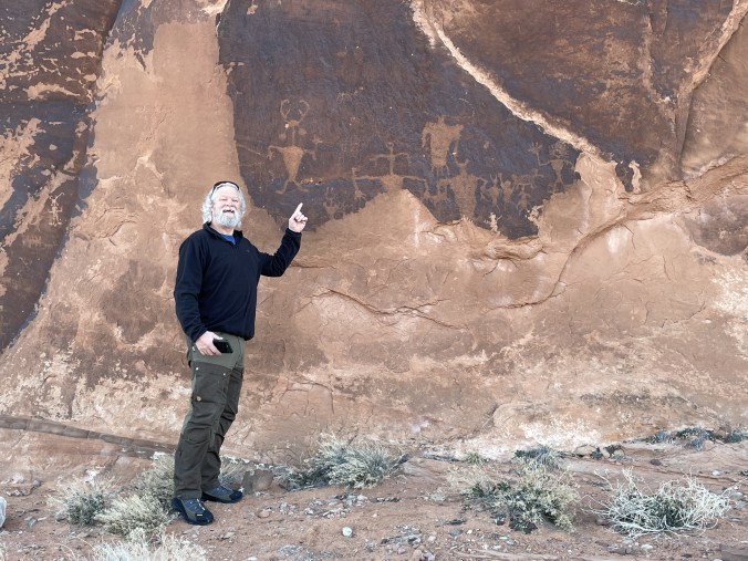
We got into Moab in the evening, spent the night, got our camping gear organized for the following night, and set out early the next morning to find Moab man:
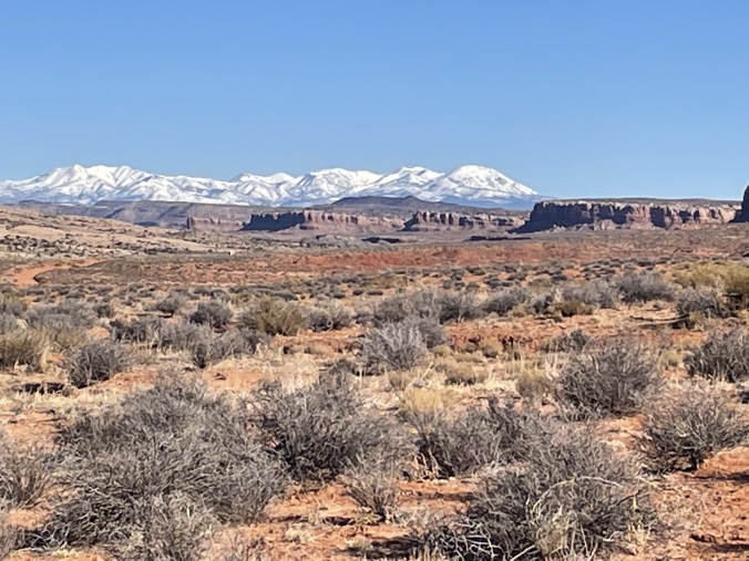
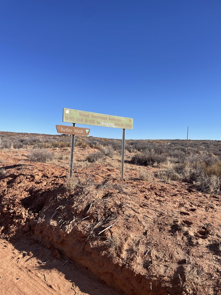
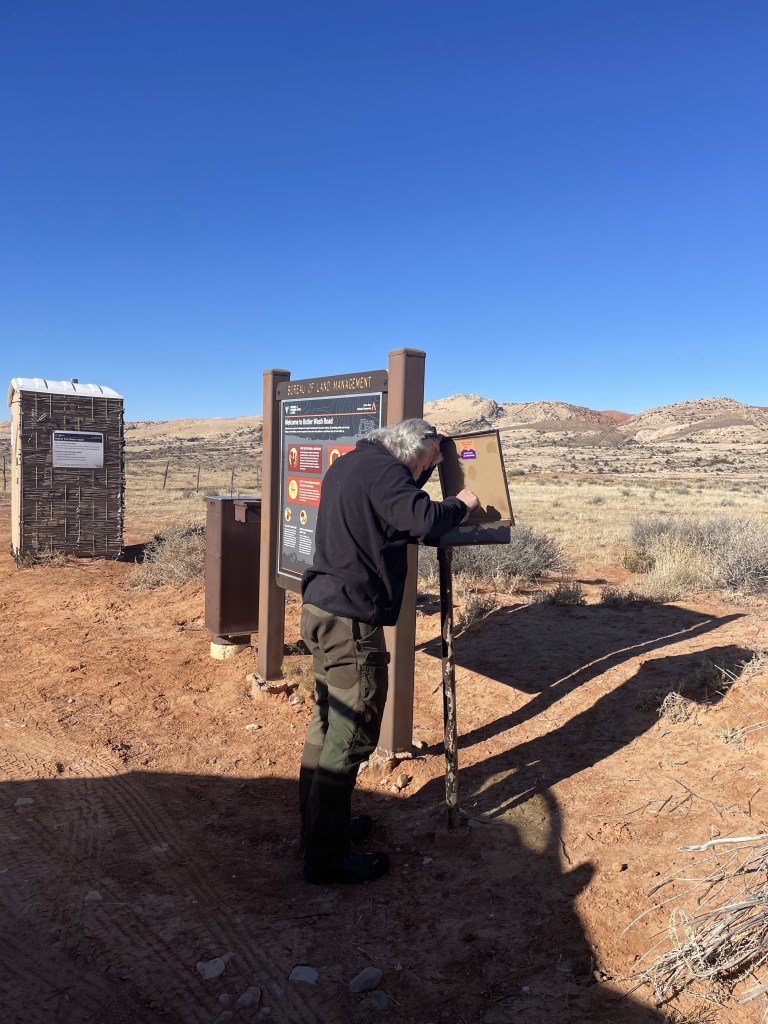
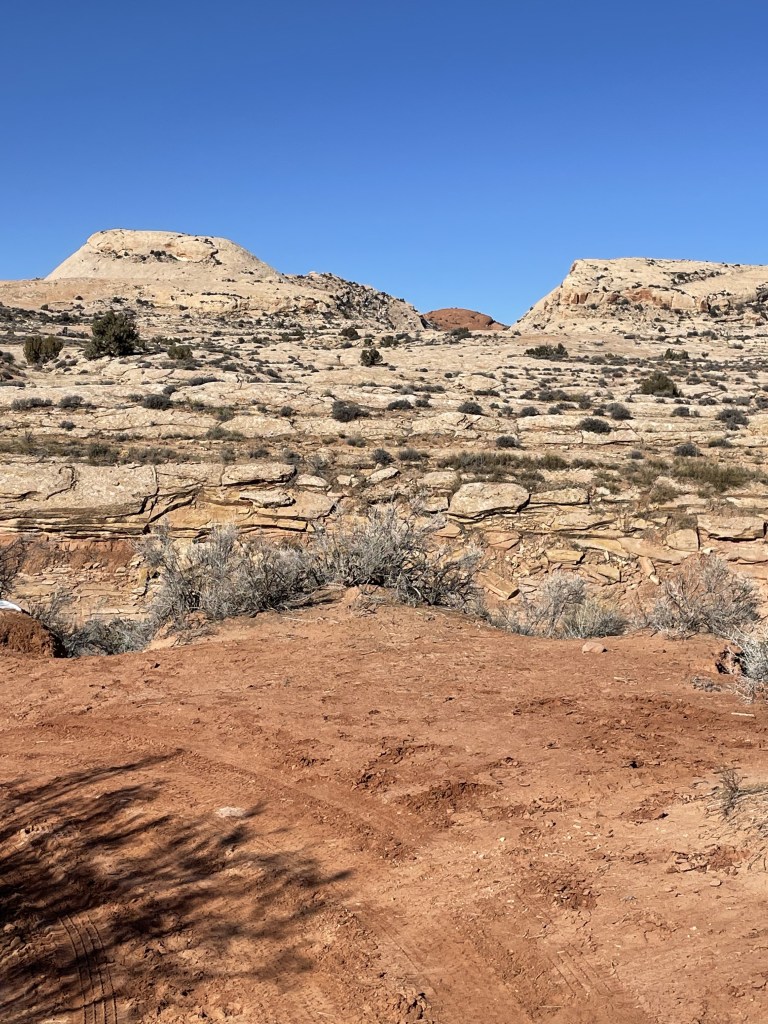
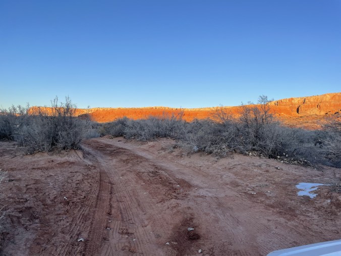
It’s only about 100 miles to Bluff, Utah from Moab, and another 10-15 minutes to the Butler Wash road entrance to Comb Ridge. There’s a small sign as you enter the dirt road, and just beyond there is a BLM station to pay your fees and get your corresponding parking passes. The port-o-john’s there were possibly the cleanest ones I’ve ever seen – likely due to the fact that it was January and “low season” for tourism.
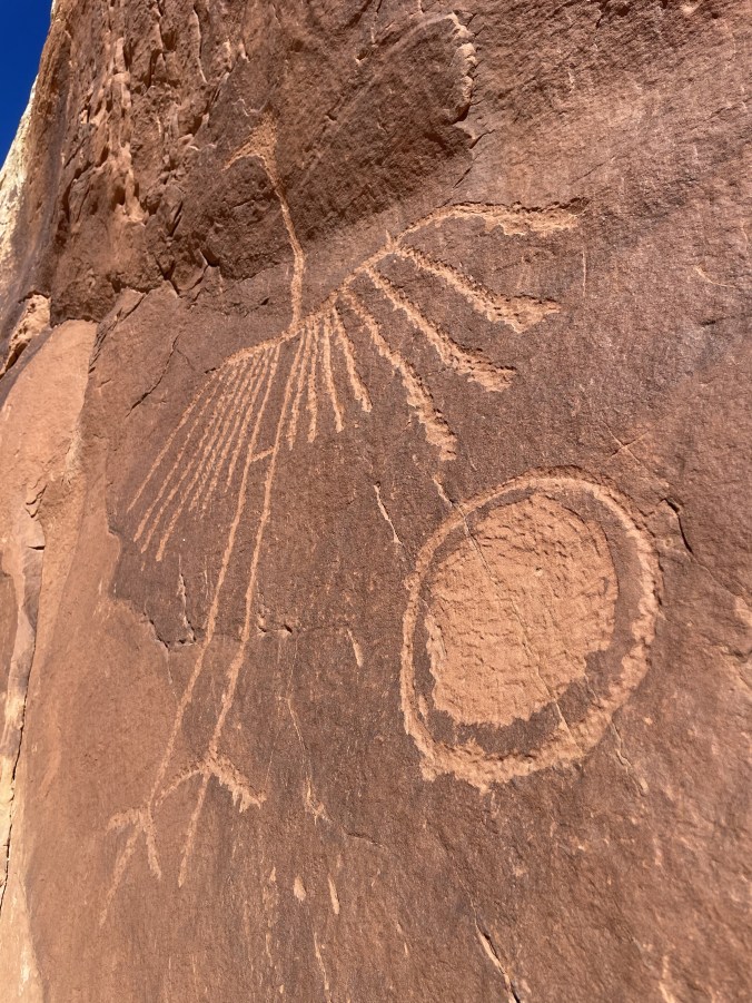
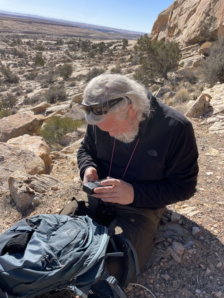
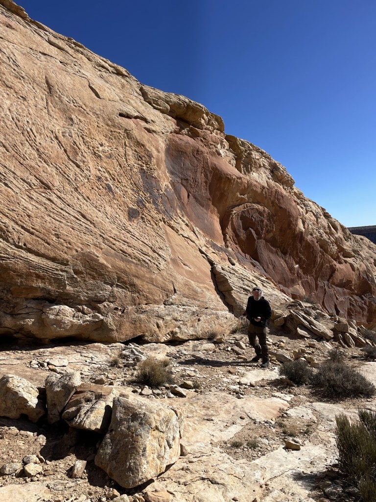
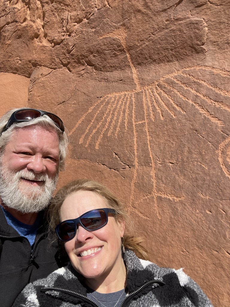
Shannon has wanted to find the “Big Crane ” (hike to it linked) Petroglyph (linked to site about area in general) for quite some time. Also known as “big bob” and “big bird” , it is famously difficult to find. Although we had the exact GPS coordinates to where it is located, it took us about an hour and a half to locate it. This is mostly because of the fact that he’d printed some extra information (from link above) about how to find it, and I’d sort of skimmed over what was written and decided that based on the instructions, I understood it was in one particular spot. Why on earth I thought I knew better than the GPS is beyond me, but long story short – I was wrong. (I decided not to involve myself in way-finding from that point on since he’d scoured the maps and had all of the GPS coordinates) Still, the GPS tracking wasn’t as clear as it would seem, so we did go in a few circles before we (Shannon) eventually figured it out and located it!

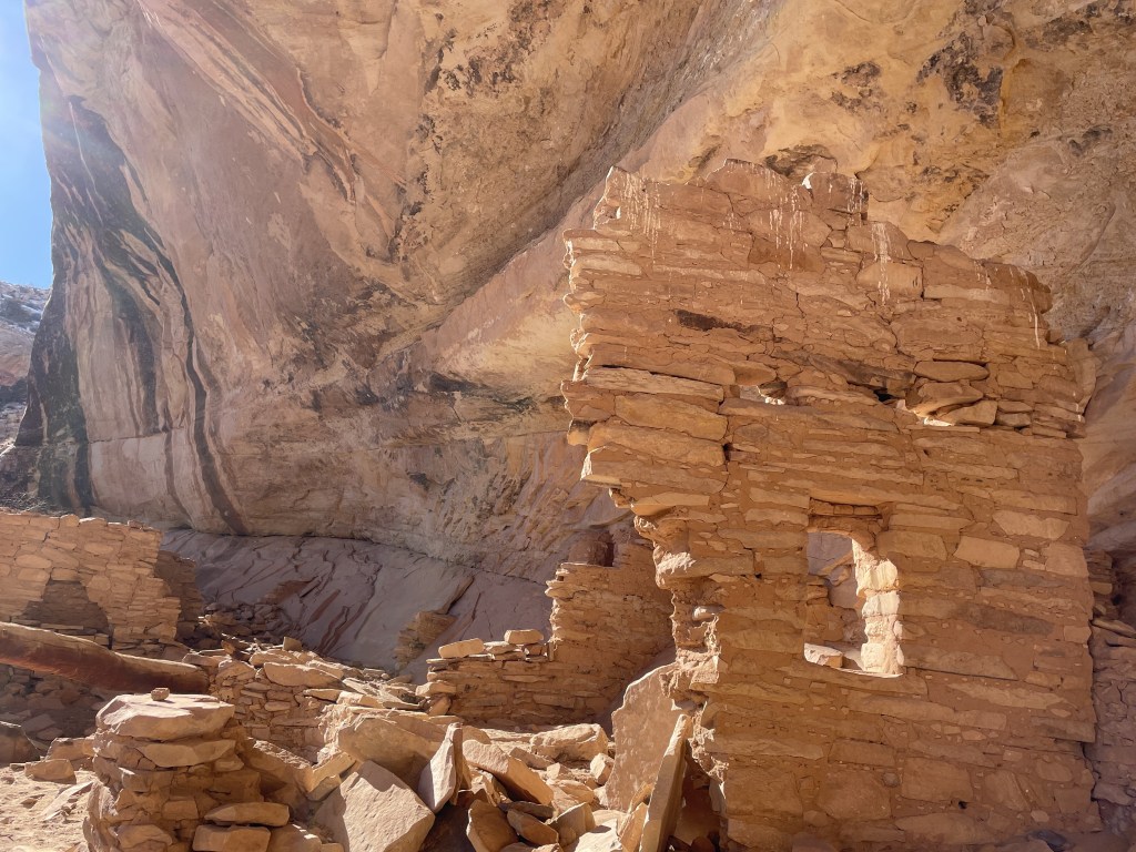
With plenty of daylight left, we decided to go on to the Double Stack Ruin which was just beyond here. It features 2 levels of ruins, and not one, but two Wickiup/ Wigwams! From Wikipedia:
“A wigwam, wickiup, wetu (Wampanoag), or wiigiwaam (Ojibwe, in syllabics: ᐧᐄᑭᐧᐋᒻ)[1] is a semi-permanent domed dwelling formerly used by certain Native American tribes and First Nations people and still used for ceremonial events. The term wickiup is generally used to refer to these kinds of dwellings in the Southwestern United States and Western United States and Northwest Alberta, Canada, while wigwam is usually applied to these structures in the Northeastern United States as well as Ontario and Quebec in central Canada. The names can refer to many distinct types of Indigenous structures regardless of location or cultural group. The wigwam is not to be confused with the Native Plains tipi, which has a different construction, structure, and use. “


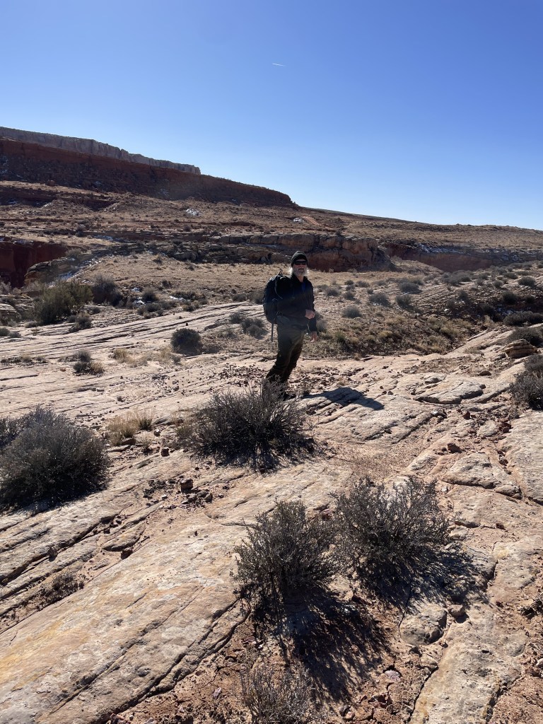
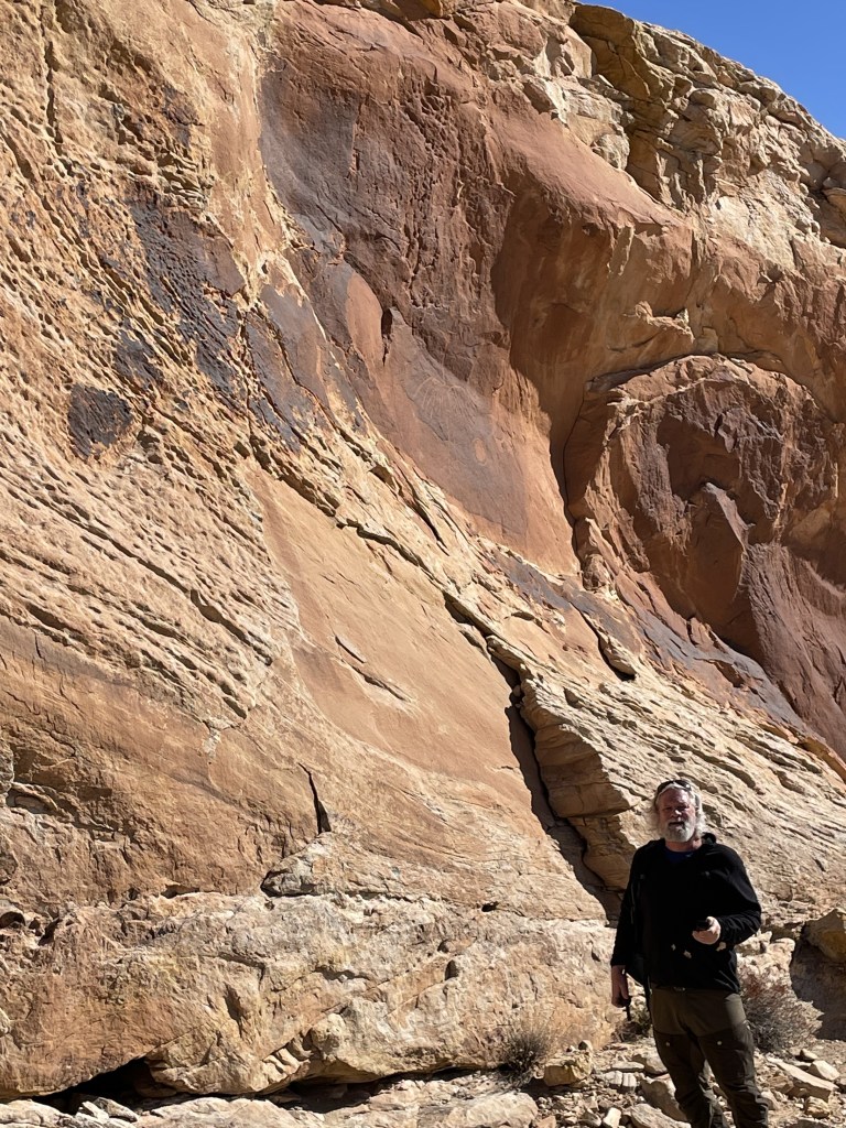
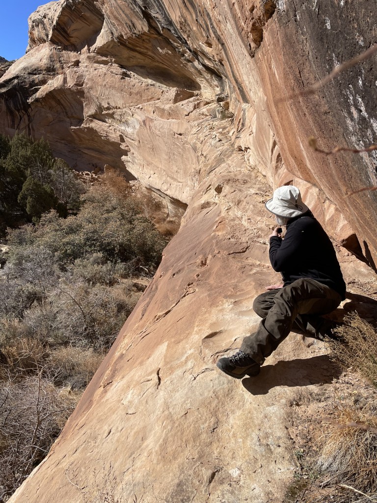
After hiking a couple of miles into Comb Ridge, Shannon said to me, “do you see that house?” and pointed at a rock face. I saw nothing. It took me a good minute before my eyes could make it out. I’ve mentioned many times before about his excellent eyesight and again, I’d never have seen it without him pointing it out to me.
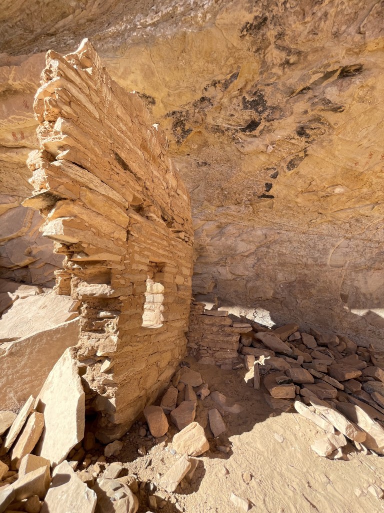
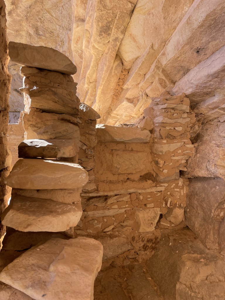
Just beyond the upper level, as you may imagine, is the lower level that makes it “Double Stack” Or maybe that name is from the two consecutive Wikiups on the trail? Or both? Anyway…..the lower level, which was easily accessible to us, was incredible.
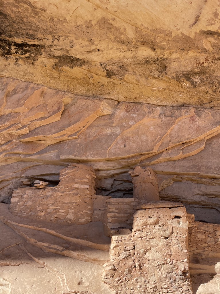

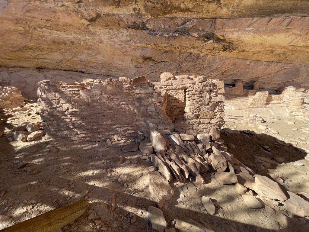
- Side note – this area is now home to lots of cattle. They’re everywhere. Shannon figured out that the ruins that are at ground level are at high risk of being trampled and cow-pattied by the cows, so they’ve (Bureau of Land management?) constructed some wooden fencing around it meant to keep them out.

Back to the ruins…. there were pottery pieces all over the ground, and sitting on ledges throughout the ruins, where folks had located the pieces and put them up for others to enjoy:

Once we finished exploring the ground level ruin, Shannon went looking for a way to get to the top level one. He found it of course, but it was dicey. We walked out confidently as if we may be able to walk out on this tiny ledge to it, but thought better of it about 2 steps in. Once I stood where he’s sitting in the photo, my knees started shaking looking down at the 60-100 foot drop. There’s no way.

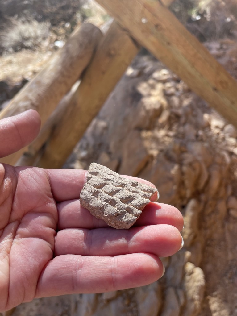
I may have mentioned a few times that we both like to “rockhound”. In this case, there are strict federal rules (linked there if you’re interested) in place about not taking anything from anywhere around the ruins.
“Under U.S. law, archaeological materials that are taken from federal or Indian lands without a permit are unlawful. Ancient objects that are found on private land are legal for individuals to own under NAGPRA, although these objects could (very rarely) be subject to a civil claim of superior title by a tribe.“
It seems that it’s ok to pick up rocks in and around Butler Wash/Comb Ridge – as long as they’re not in the areas of the Native American sights. That said, it’s pretty un-clear if you ask me. I happened to be inside of the Blue Mountain RV and Trading (linked) in Blending, Utah just outside of this area, and I was talking to the owner. He said that picking up rocks isn’t a problem, as long as they’re not in the area that surrounds the sights. If you’re ever in Blanding, he’s got some fantastic jewelry, t-shirts, clay pots, knives, rugs, Native American art, beads, and also ice cream.
We spent about an hour looking at rocks near the Big Crane petroglyph, which was where we decided to set up camp for the night. Shannon found something that we think looks like a rock tool. We took a picture and left it there, mostly because of the size of it.

There are campsites at many of the trailheads in this area, and a few in between. We liked the one by the Big Crane trailhead because of the setting, so that’s where we set up the first night.
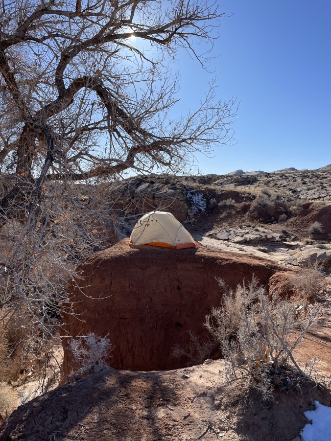
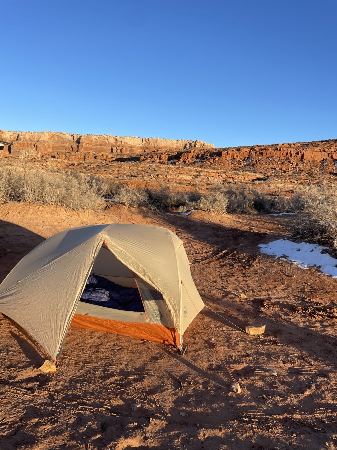
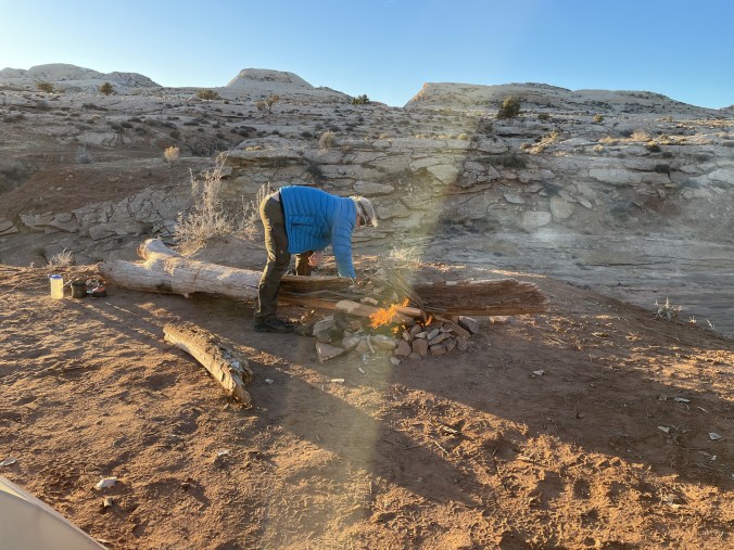
Our friends in Alabama are always fascinated to hear how we like to camp with as cold it is in this area at night. It got down into the single digits overnight, and The Feathered Friends Sleeping bags (linked), zipped together, with long underwear and hats, is what makes it possible. Still, we woke up to frost inside the tent because we’d left all of the ventilation closed – thinking we’d be warmer with all the flaps closed….. but not thinking through the condensation from our breathing. We opted to drive into Bluff for some breakfast before our hike to Procession Panel. That’s up next!

Comb Ridge looks like an awesome place to explore and see some petroglyphs. The drive to get there from Colorado looks lovely. We didn’t spend much time in Moab, just a couple of days to explore Canyonlands and Arches. You were much braver than us to camp in the cold!
LikeLiked by 1 person
I’m loving reading about your trip! And we actually were in more hotel nights than camping nights bc it was freezing!!! We had a lot of fun though . Would have been fun if we overlapped for a day or two!
LikeLike
Good call! I was surprised at how cold it gets in the desert after the sun goes down. And yes, it’s too bad that our paths didn’t overlap.
LikeLike