There are a total of 3 things i knew about Wyoming (map linked there) before this trip; it has part of Yellowstone National Park in the far northwest corner of the state, it borders Montana, and Shannon, fresh out of high school, took an opportunity to go to work on a ranch in Laramie. Soon, it became evident that being snowbound on a ranch in Wyoming for months at a time was not as appealing as he’d imagined and he high tailed it back home to Alabama where he really did get snowbound in the Great Winter Storm of ’93.
In the years since, he has found some compelling reasons to return! For example; The Bridger-Teton wilderness, The Wind River Range, the Shoshone reservation, Sacajawea, The Washakie wilderness, The Cirque of the Towers, and the Oregon Trail to name a few.

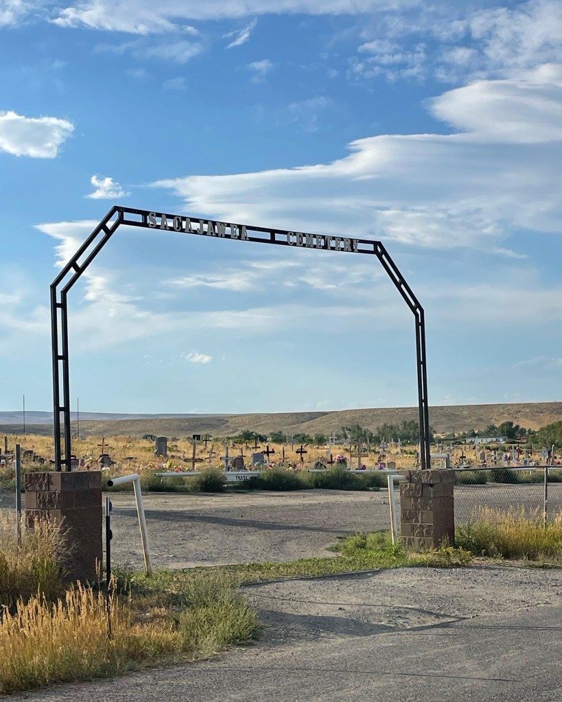
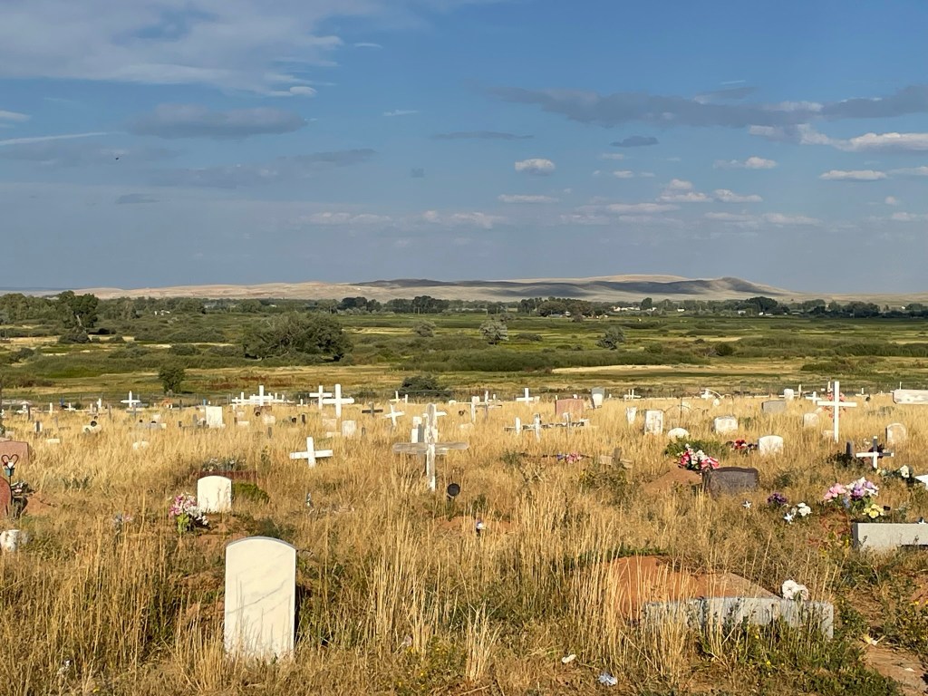
We flew to Denver, Colorado and drove North. First through Laramie where Shannon lived, and then on up into Lander where we planned to stay the night. Once we got to Lander, we drove a little past it to the Shoshone reservation to visit the Sacajawea cemetery, and to see her final resting place. It was not only a spectacularly beautiful spot, but cool and interesting. We spent the better part of an hour exploring gravesites.

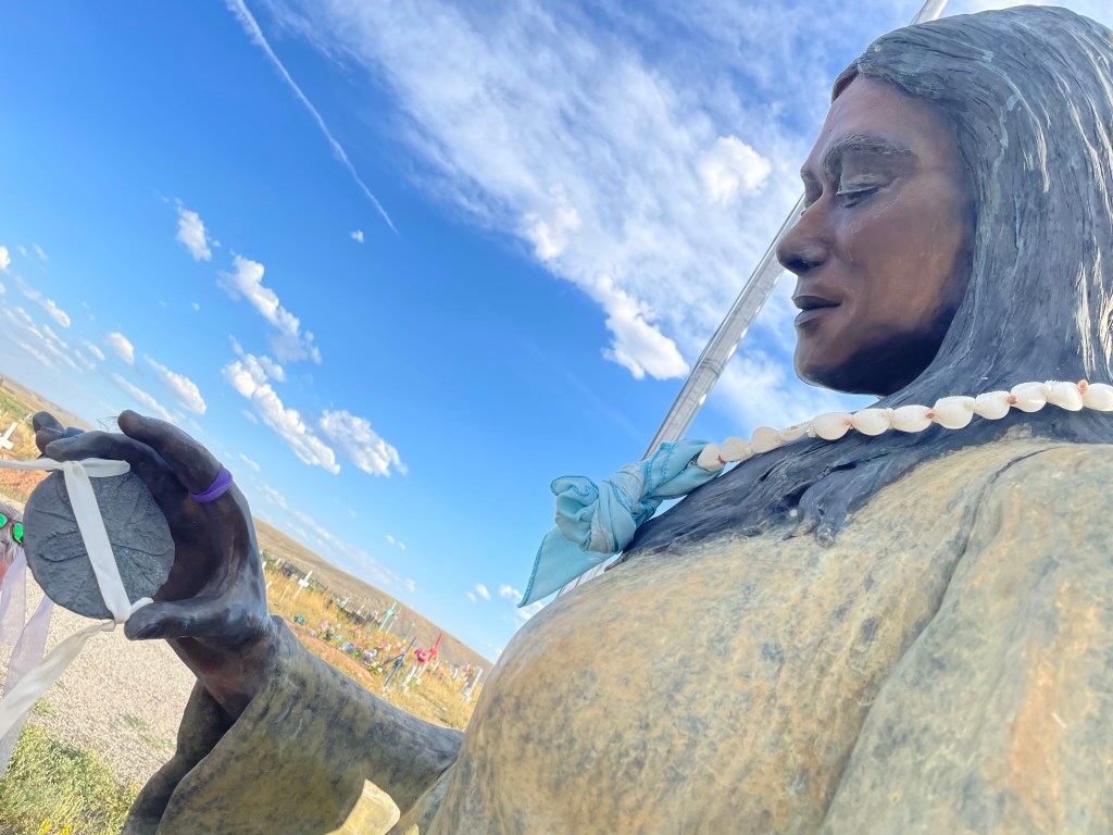
From Wikipedia: “Sacagawea (/ˌsækədʒəˈwiːə/ sack-uh-juh-WE-uh or /səˌkɑːɡəˈweɪə/ suh-COG-uh-way-uh;[1] also spelled Sakakawea or Sacajawea; May c. 1788 – December 20, 1812 or April 9, 1884)[2][3][4] was a Lemhi Shoshone woman who, in her teens, helped the Lewis and Clark Expedition in achieving their chartered mission objectives by exploring the Louisiana Territory. Sacagawea traveled with the expedition thousands of miles from North Dakota to the Pacific Ocean, helping to establish cultural contacts with Native American people and contributing to the expedition’s knowledge of natural history in different regions.


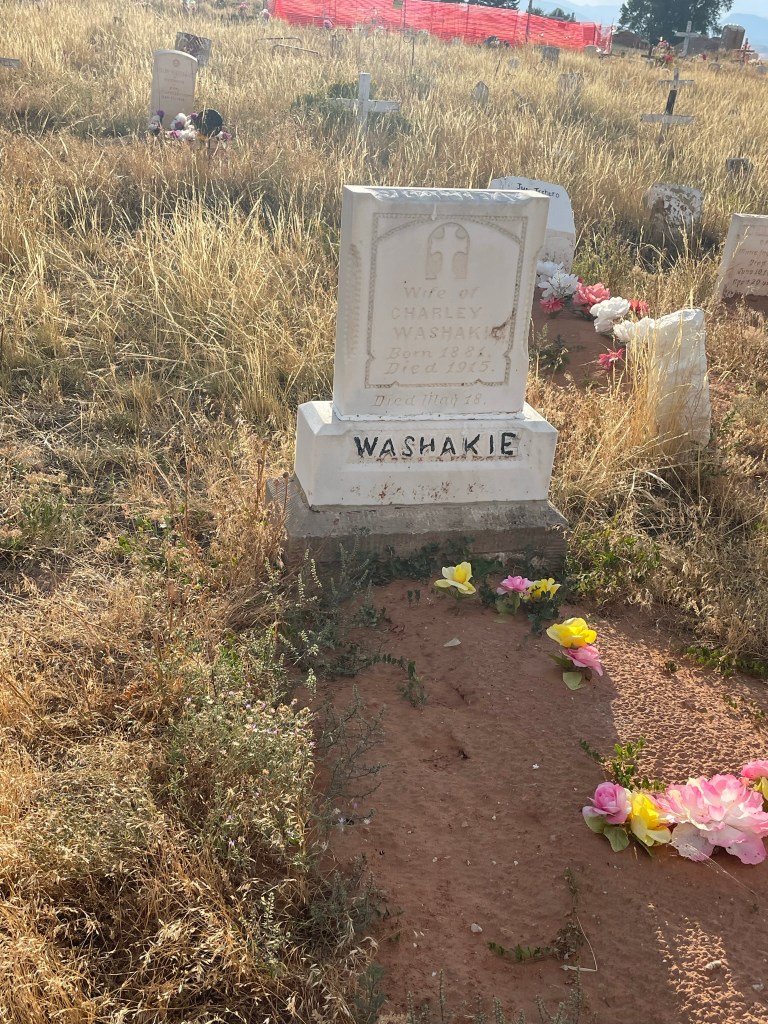
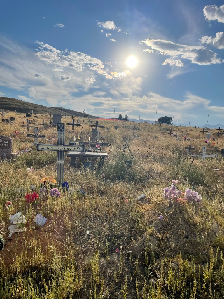
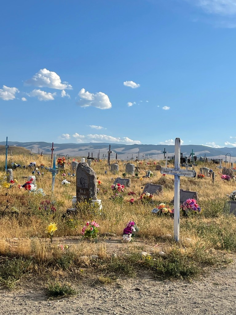
A few of the gravesites contained members of the Washakie family. Linked there if you’re interested!
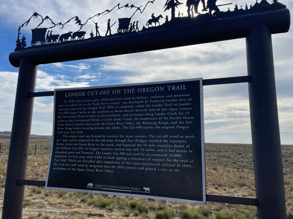
For those who watched the “Yellowstone “TV show, and then “1883″, the prequel to the Yellowstone story, the Oregon Trail was recently brought to mind. Watching the fictional depiction on screen inspired many conversations between us about what it was like. All the better timing for us to come upon one of the markers for the Oregon Trail. There’s nothing quite like coming to a place seemingly in the middle of nowhere, where pioneers journeyed in covered wagons 150 years ago. It was entirely amazing to be able to see the actual wagon tracks that remain today.
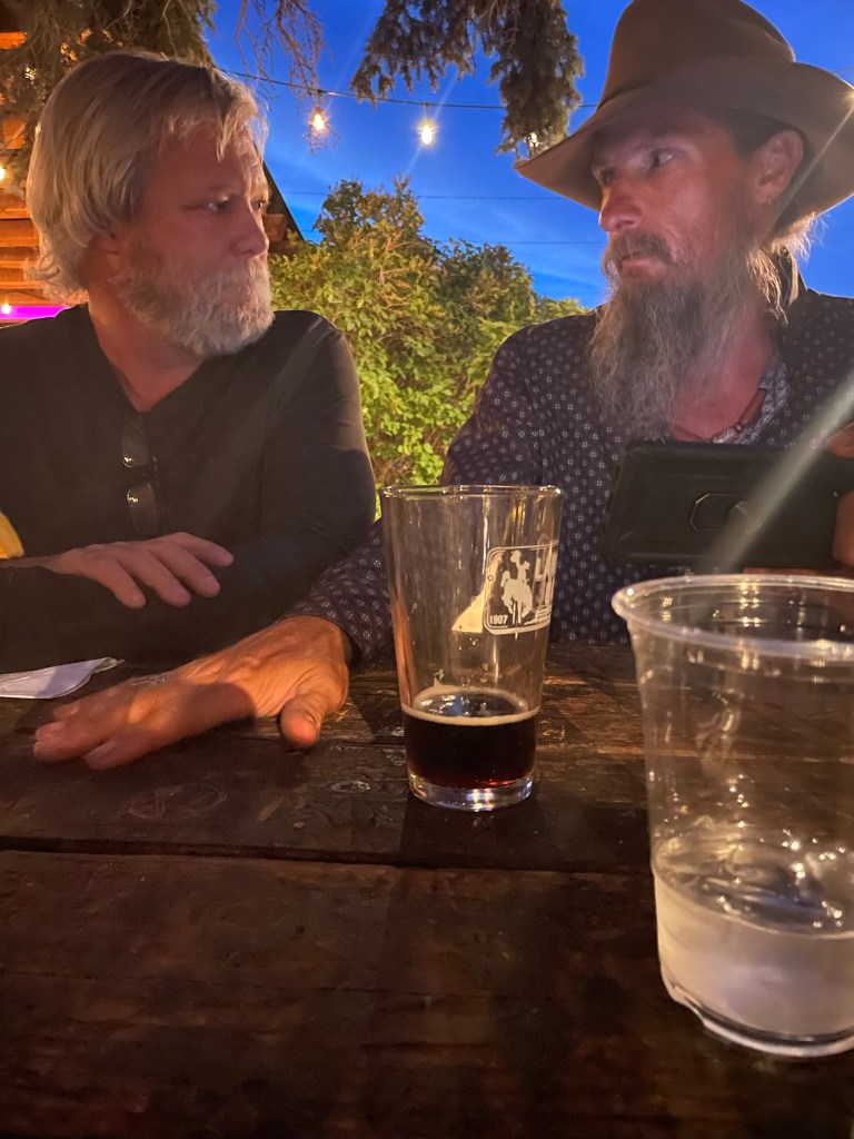
Before we made our way back to the Holiday Inn Express in Lander (for the last shower and bed-rest for the next few days), we set out to find some dinner. What we found was a fun outdoor dining experience with live music! We were at the Lander Bar, and the burger restaurant that was just next door, the Gannett Grill. Here, you order your food and drinks and walk out to the courtyard to enjoy your meal at long picnic tables with friends. The band performing on stage called “Sugarr Shak” out of Fort Collins, CO, were a lot of fun! We were soon joined by a lively crew of buffalo ranchers and their girlfriends, and had a big time chatting with them.
We left the party early to get ready for backpacking the next morning.
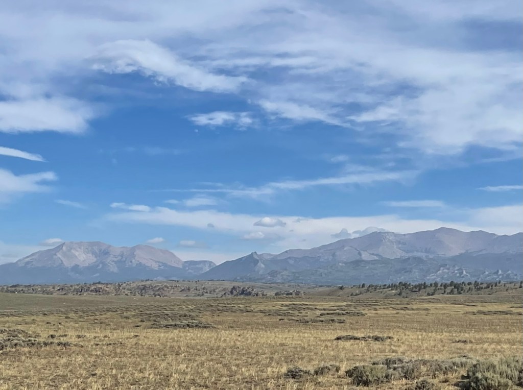
The drive from Lander to the trailhead was about 2 hours, with the first hour being on a paved road and the 2nd hour on a gravelly dirt road.
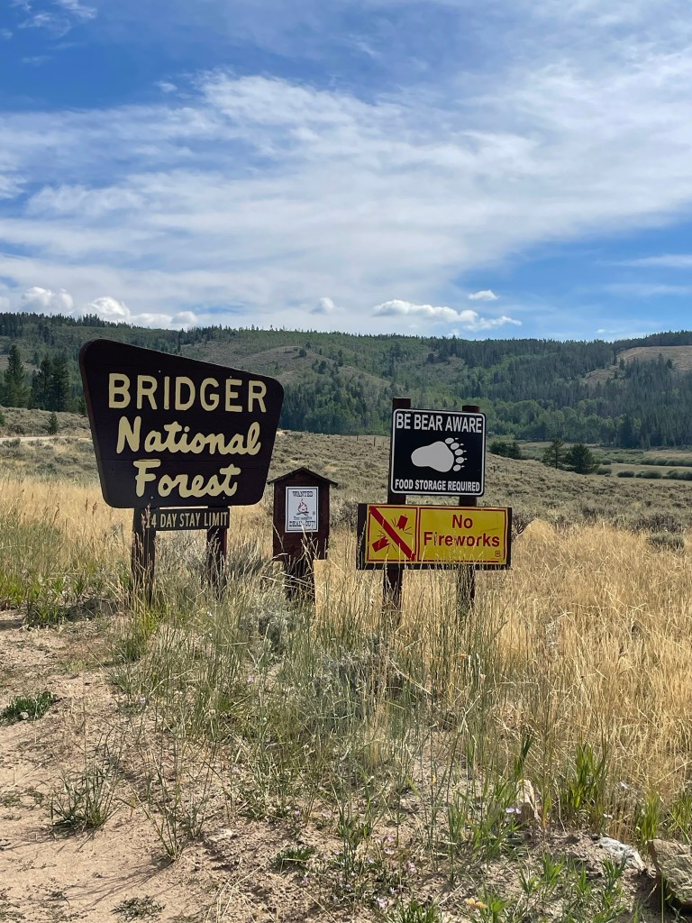
As it is the most popular trailhead of the Southern Wind River Range, we knew to expect the parking lot to be full. Still, we somehow managed to score a parking place right in the front by the actual trail which felt like the jackpot of the day. (In spite of all the cars, this area is large enough that there were not a lot of people around everywhere like the parking lot would lead you to believe)

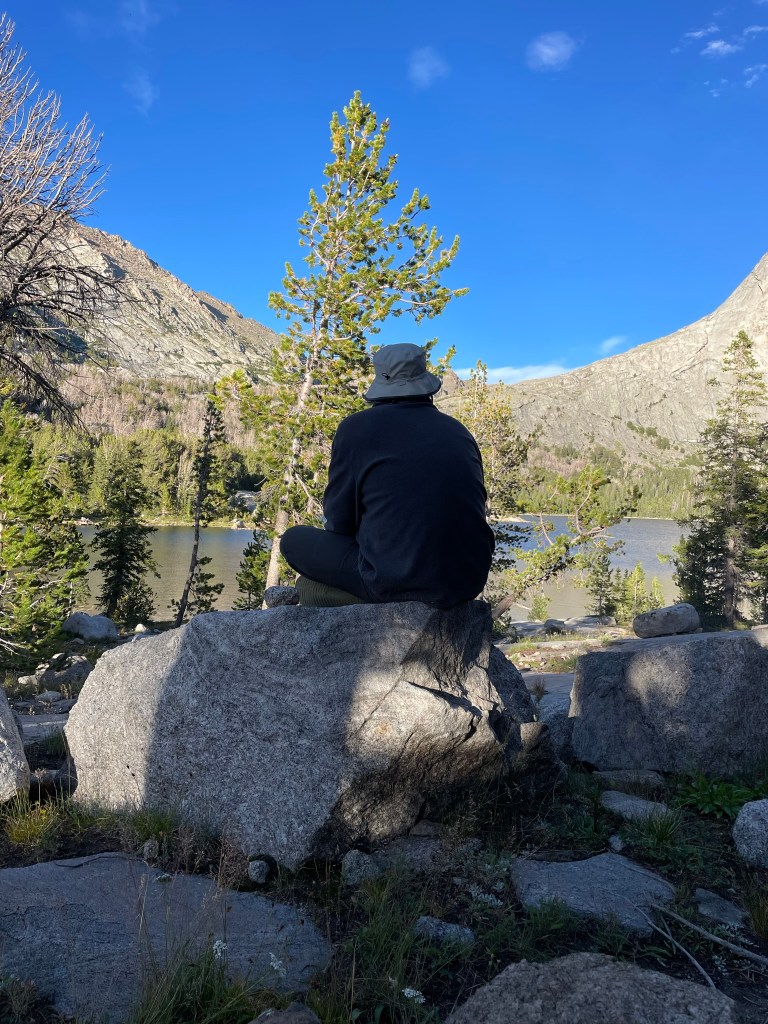
We set out from the Big Sandy Trailhead and headed into the Wind River Range. As we knew we’d still be adjusting to the altitude, we planned for this day to be a shorter distance, of about 7 miles. This turned out to be a fantastic idea, as we certainly did feel the difficulty of drawing breath in the altitude that is much higher than we’re used to. That said, the hike was absolutely spectacular.
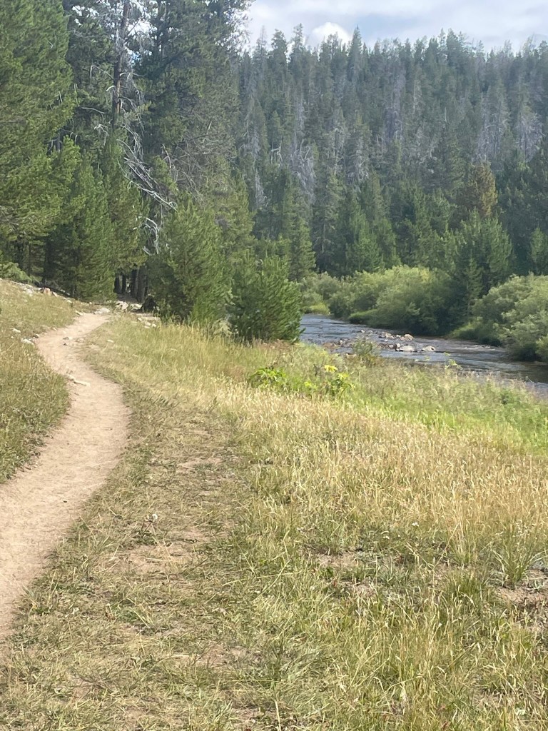


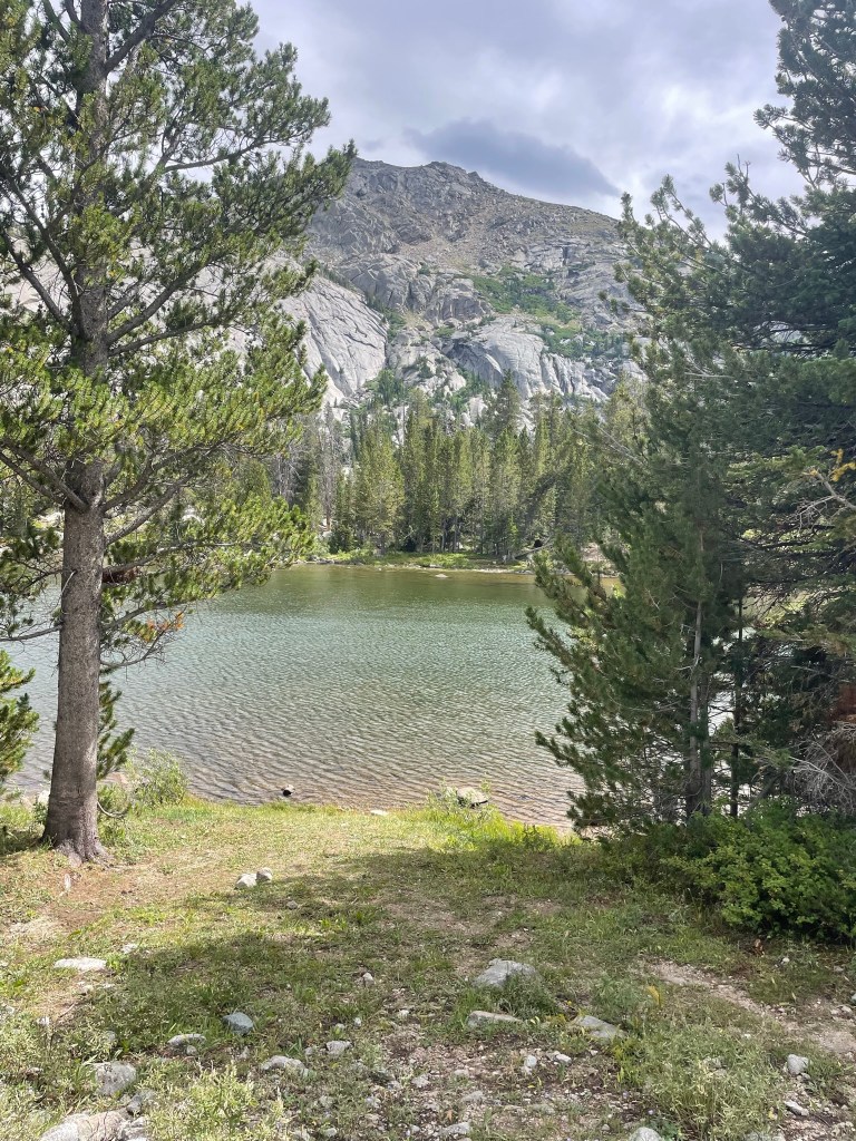
We were excited to get to Big Sandy Lake, which was at about the 5 mile mark. It is gorgeous, and surrounded with beautiful mountains. Our destination for the evening was Clear Lake, (map of Big Sandy and Clear Lake linked there) about 2 miles from Big Sandy. From the photo above, we hiked around the lake on the left, around the far side, and back around to the right.


We fished for trout, and although Shannon got a few bites, we were too much in awe of our surroundings to go after it too hard. Also, as I mentioned, we were adjusting to the altitude, so we enjoyed some downtime and rest. After dinner, we noticed that the sun was starting to dip down and Shannon mentioned that we may be able to see the “Alpenglow” on the mountains soon. (from wikipedia:) ” it’s an optical phenomenon that appears as a horizontal reddish glow near the horizon opposite to the sun when the solar disk is just below the horizon” . Alpenglow is the sunlight reflected or diffracted by the atmosphere after sunset or before sunrise.
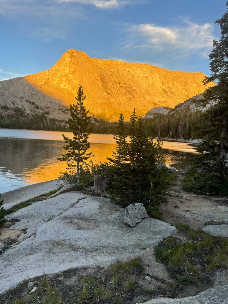
The photo doesn’t capture the dazzling effect of the alpenglow that we got to witness in person. It was beautifully bright and colorful, and there are quartz in the rocks that gave it a glittery sheen. We were very impressed with the display! It seemed that the fish were as well because that’s about when they started to hit the surface. We’d held out a little bit of hope that we’d get to see the Aurora out here, as the week had brought some high visibility chances to the area. Unfortunately we were a little too late to get to see it.
- Side note – we had read about the possibility of it being really “buggy” and full of mosquitos in this entire area. We were here in late August/early September and hoped that we’d find they’d moved out by then. One report we’d read from July, included an ongoing lament about how bad the mosquitos had been for one couple. Although there were indeed a few biting mosquitos, they were not a problem. We used insect repellant one time, and did not ever need to use the bug nets we’d brought to go over our heads.
When the sun went down, we were able to enjoy a beautiful, clear, star-filled sky. We fell asleep easily, with our food in the bear box far away from the tent, and with plans to hike the following day to Deep Lake and Temple Peak . Can’t wait to tell you about it next!

I missed this one earlier – fabulous photos!!
LikeLiked by 1 person
Thank you Bonnie!!
LikeLike
Pingback: Wyoming day 2; Deep Lake | Heads East, Tails West
Looks like you picked a gorgeous spot to camp. The mountains look especially beautiful from the golden light of the setting sun. Glad to hear that you didn’t have any issues with those pesky mosquitoes.
LikeLike
Love all the adventures, thanks for sharing. You may also enjoy my site about plants. Have a marvelous day! 🙂
LikeLiked by 1 person